
TL;DR:
- Iceland's rift valley is the visible surface of the Mid-Atlantic Ridge, where the North American and Eurasian plates pull apart. Þingvellir National Park is the most accessible example, allowing visitors to walk between two tectonic plates on dry land. The landscape is actively reshaping due to episodic plate divergence, faulting, and volcanic activity, creating a geologically unique experience.
Iceland's rift valley is defined as the surface expression of the Mid-Atlantic Ridge, the boundary where the North American and Eurasian tectonic plates pull apart. Þingvellir National Park is the most prominent and accessible example, recognized as a UNESCO World Heritage Site for both its geological and historical significance. This is the only place on Earth where the Mid-Atlantic Ridge rises above sea level, letting you walk between two tectonic plates on dry land. Whether you are drawn by the raw geology, the Viking history, or the chance to snorkel between continents, Iceland's rift zones deliver an experience that no other destination can match.
What geological processes create Iceland's rift valley?
The rift valley in Iceland forms through a process called continental divergence, where two tectonic plates move away from each other. In Iceland's case, the North American and Eurasian plates spread apart at roughly 2 cm per year. That rate sounds slow, but over 10,000 years it has caused the valley floor at Þingvellir to sink more than 40 meters. The cumulative effect is a landscape that looks ancient but is actively reshaping itself right now.
The technical term for the valley structure is a graben. A graben forms when a block of crust drops down between two parallel faults as the plates pull apart. At Þingvellir, the western Almannagjá fault and the eastern Heiðargjá fault form the bounding walls of a graben roughly 7 km wide. Most visitors see the dramatic cliff walls and assume they are looking at a canyon carved by erosion. They are actually standing on a sunken crustal block, which is a fundamentally different geological story.
Rifting in Iceland does not happen at a perfectly steady pace. Research from the University of Iceland confirms that rifting occurs in episodic bursts, with years of seismic unrest producing meters of crustal movement in short periods. Earthquakes, magma intrusions, and volcanic eruptions all interact to drive these bursts. The result is a landscape shaped by both slow creep and sudden, dramatic shifts.
Key geological forces at work in Iceland's rift zones:
- Plate divergence: The North American and Eurasian plates pull apart, stretching the crust and creating fissures.
- Graben subsidence: The valley floor drops as the bounding faults slip outward, deepening the rift over time.
- Magma intrusion: Rising magma fills gaps created by spreading, feeding Iceland's frequent volcanic eruptions.
- Seismic activity: Earthquakes release stress built up along fault lines, sometimes triggering rapid surface fracturing.
- Fissure eruptions: Lava pours through linear cracks rather than a single central vent, a hallmark of rift zone volcanism.
Pro Tip: If you want to see fresh rift features, visit the Reykjanes Peninsula. The area has produced some of the most dramatic recent rifting activity in Iceland's recorded history.
What can you see and do in Þingvellir's rift valley?
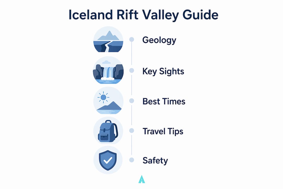
Þingvellir sits 45 minutes from Reykjavík by car, making it the most practical geological destination in Iceland. Most travelers spend 2–3 hours here, which is the enough time to cover the main sites without rushing. The park is free to enter, and the main parking areas carry no charge, which is rare for a UNESCO site of this caliber.
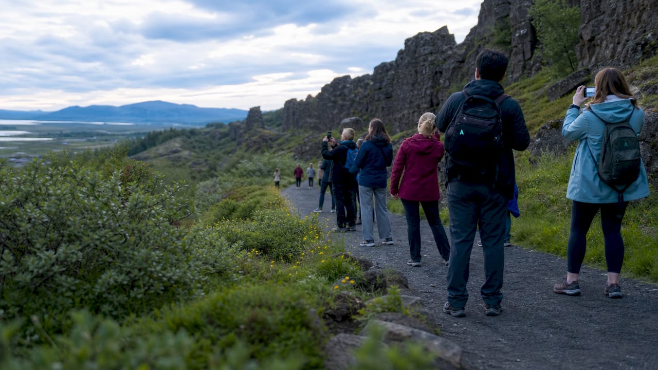
The Almannagjá gorge is the single most dramatic feature you will walk through. It is the western fault scarp of the North American plate, stretching over 7 km long and reaching up to 40 meters deep. Walking its length gives you a visceral sense of scale that no photograph fully captures. The rock walls on either side are the literal edge of a tectonic plate.
The top things to see and do at Þingvellir:
- Walk the Almannagjá gorge. Follow the path along the base of the North American plate's fault scarp. The walls tower above you and the geology is impossible to miss.
- Visit the Law Rock (Lögberg). This is where Iceland's Viking-age parliament, the Althing, met from 930 AD onward. The geological and cultural sites overlap here in a way that is unique in the world.
- See Öxarárfoss waterfall. A short walk from the main path, this waterfall drops over the rift fault into the valley below.
- Snorkel or dive Silfra fissure. Silfra is a water-filled crack between the two tectonic plates. Water temperature stays at 2–4°C year-round, so a drysuit is mandatory. Visibility exceeds 100 meters in some conditions, making it one of the clearest dive sites on Earth.
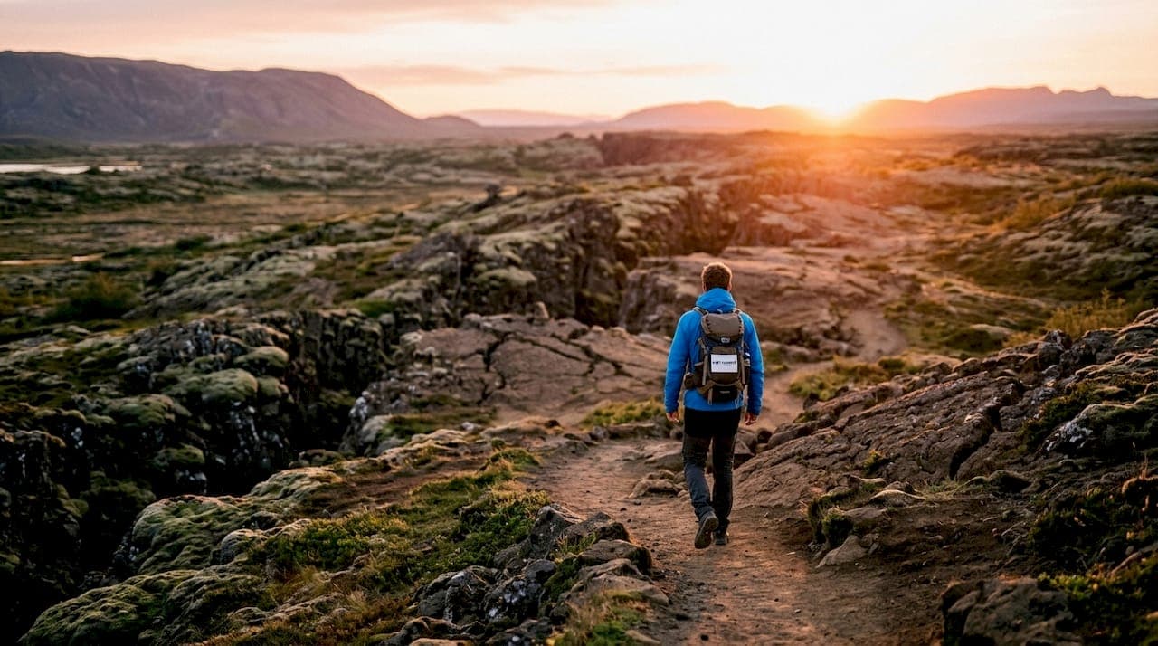
- Photograph the rift valley floor. The open valley between the fault walls offers wide, unobstructed views that work especially well in the golden hour light of Icelandic summers.
Pro Tip: Arrive before 10:00 AM or after 4:00 PM to avoid the peak tour bus crowds. Timed visits outside peak hours make a measurable difference in how much you enjoy the gorge walk and the fissure areas.
Þingvellir is a natural anchor for a Golden Circle day trip from Reykjavík, typically combined with the Geysir hot spring area and Gullfoss waterfall. If you are a first-time visitor to Iceland, this route covers more geological variety per kilometer than almost any other drive in the country.
How does Þingvellir compare to other rift zones in Iceland?
Þingvellir gets the most visitors, but Iceland's rift system extends across the entire island. The northern rift zone, centered around Mývatn and the Krafla volcanic system, offers a completely different experience. Where Þingvellir is green, historically layered, and relatively gentle, the Krafla area is raw, sulfurous, and visually alien. Lava fields from eruptions as recent as the 1980s sit alongside steaming fissures and explosion craters.
| Feature | Þingvellir (Southwest) | Mývatn and Krafla (North) |
|---|---|---|
| Crowd level | High, especially in summer | Moderate, less visited |
| Geological focus | Graben, fissures, plate boundary | Volcanic craters, lava fields, calderas |
| Cultural significance | Viking parliament site, UNESCO listed | Primarily geological |
| Accessibility | 45 minutes from Reykjavík | Requires longer travel or internal flight |
| Best for | First-time visitors, history lovers | Geology enthusiasts, off-the-beaten-path travelers |
Iceland's rifting is also geologically distinct from the East African Rift Valley, which is the other famous rift system most travelers know. The East African Rift is a continental rift, meaning it tears through thick, old continental crust. Iceland's rift is an oceanic rift, where thinner, younger crust spreads apart above a mantle hotspot. That hotspot is why Iceland has so much more volcanic activity per square kilometer than East Africa's rift zones. The combination of a mid-ocean ridge and a hotspot directly beneath it is what pushed Iceland above sea level in the first place.
For travelers interested in Iceland's volcanic geology, the northern rift zones reward the extra travel time. The Haukadalur valley area, famous for the Geysir geothermal field, also sits within Iceland's active volcanic belt and shows how geothermal energy and rift tectonics connect across the island.
How is Iceland's rift valley changing right now?
Iceland's rift system is not a static geological relic. It is one of the most actively changing landscapes on Earth. The Reykjanes Peninsula, just southwest of Reykjavík, has produced some of the most dramatic evidence of this. Between 2021 and 2025, episodic rifting caused nearly 4 meters of crustal extension on the peninsula, accompanied by repeated volcanic eruptions and surface fracturing visible to the naked eye. Four meters of ground movement in four years is geologically extraordinary.
"The rift valley landscape results from long-term gradual plate spreading punctuated by intense seismic and volcanic episodes. Iceland's tectonic boundary is not a slow, predictable process. It is a dynamic system where years of quiet can give way to months of rapid, dramatic change." — University of Iceland research on Reykjanes Peninsula rifting
Scientists treat Iceland as a natural laboratory precisely because the Mid-Atlantic Ridge is visible above sea level here. Everywhere else, this boundary sits under kilometers of ocean water. Iceland lets researchers measure plate movements, track magma intrusions, and observe rifting in real time. The data collected here directly improves global models for earthquake and volcanic hazard assessment.
The practical implication for travelers is that Iceland's geological features are not frozen in time. New fissures open. Lava fields expand. The landscape you photograph today will look measurably different in a decade. That urgency is a genuine reason to visit sooner rather than later, especially if the Reykjanes volcanic zone is active during your travel window. Check the Icelandic Meteorological Office updates before visiting any active zone.
Key Takeaways
Iceland's rift valley is the only place on Earth where the Mid-Atlantic Ridge is visible above sea level, making it the most geologically accessible tectonic plate boundary for travelers.
| Point | Details |
|---|---|
| Unique geological access | Þingvellir lets you walk between two tectonic plates on dry land, a globally unique experience. |
| Active and changing landscape | The Reykjanes Peninsula recorded nearly 4 meters of crustal extension between 2021 and 2025. |
| Graben structure | Þingvellir's valley is a graben, a sunken crustal block between two parallel faults, not a canyon. |
| Practical visit logistics | The park is free to enter, 45 minutes from Reykjavík, and best visited before 10:00 AM or after 4:00 PM. |
| Beyond Þingvellir | Northern rift zones like Mývatn and Krafla offer volcanic geology with far fewer crowds. |
Why the rift valley changed how I think about travel geology
I have visited a lot of geological sites across the world, and most of them require a fair amount of imagination. You stand at a canyon rim, read a sign, and try to picture millions of years of erosion. Þingvellir requires no imagination at all. The fault walls are right there. The fissures are at your feet. The valley floor is visibly lower than the surrounding land. The geology explains itself.
What surprised me most was how few visitors actually understand what they are looking at. I watched tour groups walk the Almannagjá gorge treating it like a scenic path, which it is, but missing the fact that the wall to their left is the edge of the North American plate. That context transforms the experience completely. I would strongly recommend reading at least a basic overview of graben formation before you arrive. Ten minutes of preparation doubles what you take away from the walk.
My honest advice on timing: skip the midday visit entirely if you can. The gorge fills with tour groups between 10:00 AM and 4:00 PM, and the noise and crowding undercut the sense of scale. An early morning visit in summer, when the light is low and the air is still, is a genuinely different experience. If you have the flexibility, spend a night near Þingvellir and walk the gorge at sunrise.
For travelers who want to go deeper into Iceland's Viking-age history alongside the geology, Þingvellir rewards multiple visits. The Law Rock alone carries enough historical weight to anchor a separate trip focused entirely on Iceland's parliamentary heritage.
— Sergiu
Getting to Iceland's rift valley with Easytransfer
Þingvellir and Iceland's other rift zones are best reached by private transfer, especially if you want flexibility on timing and stops along the way.

Easytransfer provides private transfers across Iceland, from Keflavík Airport to Reykjavík and onward to destinations like Þingvellir, the Reykjanes Peninsula, and the northern rift zones. Vehicles include Mercedes models and Tesla electric cars, with free WiFi onboard and fixed pricing with no hidden fees. Flight tracking means your driver is ready when you land, regardless of delays. Groups of up to 49 travelers can be accommodated. Book through Easytransfer's website, or request a custom quote for any pickup and drop-off combination across Iceland. A sales agent responds within 24 hours, and full refunds apply for cancellations made at least 24 hours in advance.
FAQ
What is the rift valley in Iceland?
Iceland's rift valley is the surface expression of the Mid-Atlantic Ridge, where the North American and Eurasian tectonic plates diverge. Þingvellir National Park is the most accessible location to see and walk through this active plate boundary.
How fast do the tectonic plates move at Þingvellir?
The plates spread apart at approximately 2 cm per year. Over 10,000 years, this movement has caused the valley floor to sink more than 40 meters.
Is Þingvellir National Park free to visit?
Admission to Þingvellir is free, and the main parking areas carry no charge. Guided activities like Silfra snorkeling require a separate booking and fee.
What is the best time to visit Iceland's rift valley?
Arrive before 10:00 AM or after 4:00 PM to avoid peak tour bus crowds. Summer offers extended daylight for photography, while winter visits provide dramatic low-light conditions and smaller crowds.
Are there other rift zones in Iceland worth visiting?
Yes. The Mývatn and Krafla areas in northern Iceland offer volcanic craters, lava fields, and active fissures with significantly fewer visitors than Þingvellir, making them ideal for travelers seeking a less crowded geological experience.